


Local Hospitality
is Our Way of Life
Cass County, Nebraska
Cass County was approved by the Territorial Legislature on March 7, 1855, and was named in honor of General Lewis Cass. Bounded on the North by the Platte River and on the East by the Missouri River, the county measures approximately 34 miles East to West and 20 miles North to South and has a population of over 25,000.
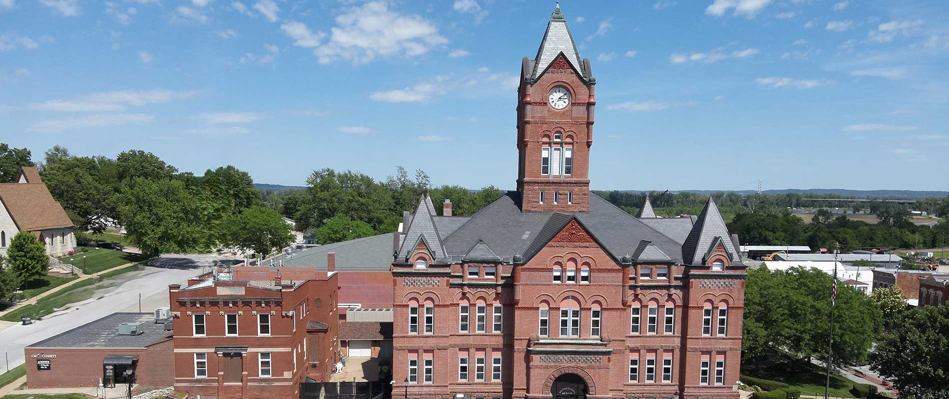
Our County Seat is located in the city of Plattsmouth. The Courthouse Complex is located on the northeast end of Main Street. County Courthouse Complex consists of the Courthouse, Law Enforcement Center and Jail, and the Annex Building.
Cass County is one of the earliest settled counties in the state of Nebraska. It was named in honor of General Lewis Cass of Michigan (1782-1866), an American statesman and patriot who took an active part in the fight over the Kansas-Nebraska bill. Cass was the Democratic nominee for President in 1848.
The story of the county begins June 2, 1739, when Pierre and Paul Mallet reached the mouth of a river they called the "Platte" and followed the river upstream for 70 miles. This became the first expedition by white men on Nebraska soil.
Numerous towns were incorporated during the early days of settlement, many have since become "ghost towns" but today Cass County is still one of the largest counties in the state and is comprised of fifteen towns - Alvo, Avoca, Cedar Creek, Eagle, Elmwood, Greenwood, Louisville, Manley, Murdock, Murray, Nehawka, Plattsmouth, South Bend, Union, Weeping Water.

Your County
Residents
Square Miles
Year Established